
Neptune Neighbors Block Record Sources
A block search needs a source for each question. Monmouth County GIS handles the shape and touching edges of parcels. The consolidated property search supplies owner, situs, mailing, block, and lot leads. OPRS can identify recorded instruments when a deed, easement, map, or boundary question matters. Election records are a separate, limited registration layer. Neighborhood organizations add local context, but their links are not a government list of current households.
| Block question | Best source | What it can show | Limit to retain |
|---|---|---|---|
| Which lots touch? | Monmouth GIS map | Current parcel geometry and context | Roads, water, alleys, and shared areas can break adjacency |
| Who appears on the tax roll? | Consolidated property search | Owner, situs, mailing address, block and lot | Owner is not automatically the occupant |
| What changed a line? | OPRS instruments and maps | Recorded deed, map, easement, or other filing lead | Index coverage and title interpretation have limits |
| Who is registered nearby? | State voter tools or county list route | Election-registration information within legal limits | Not all occupants and no contact permission |
| Which local group is relevant? | Township municipal links | Association and community research lead | Membership and current officers may be unverified |
Keep physical and mailing information distinct. A Neptune Township parcel can have a taxpayer mailing address elsewhere, and a post-office box is never the parcel’s situs. The safest block note records the legal municipality, parcel identifier, source date, and whether the source describes an owner lead, an election record, or historical context.
Defining Neptune Neighbors by Geometry
“Neighbor” has several useful meanings. It can mean a contiguous parcel, a lot on the same block, a property across a public street, or a nearby association area. Those are not interchangeable. A house across a road may be close but not adjacent in parcel geometry. Water, a right-of-way, condominium common space, or an alley can also interrupt a shared boundary. State the definition before drawing a conclusion from a map.
The Monmouth County GIS viewer is the map source for this first step. Its full layer and pop-up field list was not exposed in text-only research, so the page does not assume undocumented controls. Use the visible parcel geometry as a lead, then cross-check the block and lot in the property system. A map label alone is not a deed or proof of occupancy.
Note: A same-block search is broader than contiguous-parcel research and should be labeled that way in every saved note.
Map a Neptune Block by Parcel
For Neptune Township neighbors, use a short parcel flow rather than a broad name collection. The map establishes spatial relationships. The property system establishes the assessment lead. OPRS is only needed when a recorded instrument explains an ownership or boundary question. This sequence is especially useful near the shoreline, at corners, or where shared areas make an apparent neighbor relationship uncertain.
- Find the subject address in the GIS viewer and identify its block, lot, and parcel shape.
- Read the map for each touching parcel. Mark public streets, water, easements, alleys, and shared or condominium areas before calling a lot adjacent.
- Run each block-and-lot or address lead through the Monmouth Consolidated Records Search. Preserve the situs and mailing address as separate fields.
- When the question is about a boundary, transfer, plat, or easement, use the Monmouth OPRS property-record index for the relevant instrument, then read the document before relying on its party names.
The process is address to map, map to parcel, parcel to owner lead, then owner lead to the proper record. For a whole named street rather than the immediate block, use the Neptune Township street directory workflow. It follows a different question and should not be folded into a small-radius neighbors search.
Neptune Neighbor Owner Leads
The county consolidated search accepts a township plus an address, block and lot, or owner name. Its map mode includes zoom, right-click location, and a radius selection. These inputs make it a practical parcel lead tool for Neptune Township neighbors. The property result should preserve owner name, property or situs address, mailing address if shown, block, lot, qualifier, municipality, assessment or tax identifiers, and map location.
| Consolidated search mode | Documented fields or controls | Block-use result |
|---|---|---|
| Address | Township Name and Address text; a street name or part of one is accepted | Parcel or map-and-property lead for the subject address |
| Block and lot | Township Name, Block, Lot, and optional Qualifier | Exact parcel when a street hit is uncertain |
| Owner name | Township Name and full or partial Owner Name | Owner-name lead that still needs parcel and identity checks |
| Map | Zoom, right-click location, and Radius selection | Spatial context and nearby parcels, with dynamic field gaps retained |
Use the local Neptune Tax Office for assessment-routing questions. It is not a people-search database. The Monmouth County Clerk records deeds, mortgages, liens, maps, and instruments, while the assessor-facing system maintains property and tax information. A mortgage, release, lien, or judgment is not automatically a title transfer. OPRS also limits each date search to 90 days and is not a title opinion.
A useful worksheet labels every source: GIS geometry, assessment owner lead, recorded instrument, voter registration, or historical directory. That small distinction prevents an owner, deed party, or neighbor contact from being reported as a current resident without evidence.
Neptune Neighbors Voter Limits
A voter record can be a limited election-administration clue, not a block roster. The official state lookup requires exact matching details, and the research could not inspect its complete live form or result columns. New Jersey’s voter-file law permits certain county electronic-list requests, but it excludes signatures and protected addresses and bars commercial or charitable solicitation. The law does not turn a registration address into a list of every occupant or a reason to contact people.
The voter-file statute sets the field and use limits for county lists.
Use Neptune’s Municipal Clerk for local registration and polling-place help, and use the county election offices for list, correction, or administration questions. The county’s elections inventory is regional system information, not a count of Neptune Township neighbors.
Monmouth County election officials provide the official county contact route.
A registration entry can change, and inactive status is not a confirmed move. Never infer voting behavior from a voter lookup.
Neptune Neighborhood Group History
Neighborhood associations offer a different kind of Neptune neighbors clue. They can point to a block’s history, newsletters, neighborhood name, or public community contact. Current township municipal links include Ocean Grove Homeowners Association, West Neptune Homeowners Association, Gables Residents, Shark River Hills Property Owners’ Association, Ocean Grove Chamber, Ocean Grove Camp Meeting Association, and MURC. These names are research leads, not verified membership rosters.
Ocean Grove Homeowners
Use public association material for Ocean Grove community and building-history context, not copied member details.
West Neptune, Gables, and MURC
These names can frame neighborhood research or older newsletter searches, but exact boundaries and current contacts were not verified.
Shark River Hills
The property owners’ association can add local-area context. Its name does not define a parcel boundary.
Ocean Grove civic groups
The Chamber and Camp Meeting Association provide public civic and historical context, not a household list.
Neptune Township municipal links are the responsible start for those public group references.
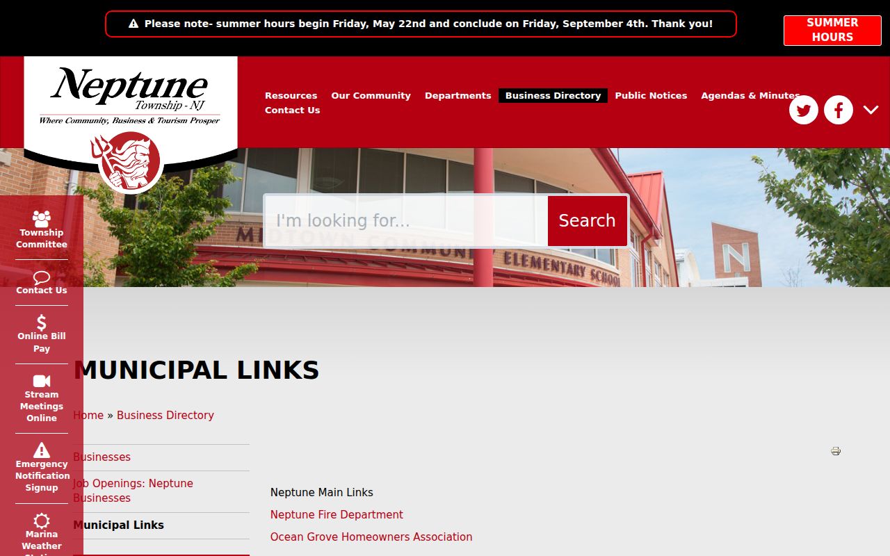
An archival 2011 calendar also names Compass Point, Seaview at Shark Island, and Bradley Park Neighborhood Association. It can explain an old newsletter or map reference, but it cannot establish who belongs today.
For Ocean Grove building and local-history questions, the Historical Society of Ocean Grove offers an archive and research route separate from municipal records.
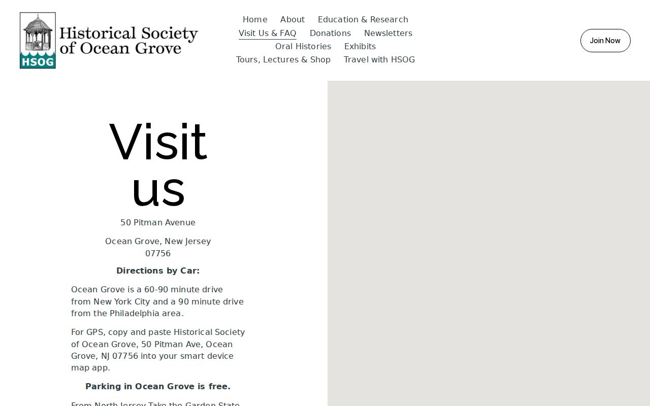
Its materials can add historical context to an address, but a historical neighborhood reference still needs a parcel or recorded-source check before it is tied to a current lot.
Neptune Neighbors Postal Context
Local identity can be helpful without replacing legal geography. Ocean Grove, Shark River Hills, Midtown, Bradley Park, Gables, Seaview Island, and West Neptune are useful search terms in old material and public community links. Ocean Grove also has a distinct postal identity, while Neptune Township records may use the legal municipality. Store municipality, neighborhood, ZIP, physical situs, and mailing address separately when a search crosses those labels.
That distinction matters for Neptune neighbors around an address. A postal label can suggest delivery geography, while the parcel map shows the legal land geometry. An association name can describe community history, while OPRS or the assessor identifies the instrument or tax-roll lead. When the question reaches a county office rather than a municipal desk, Freehold is the county seat and a different access channel.
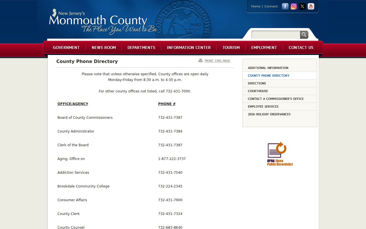
The Monmouth County office directory provides the Clerk, elections, library, historical, surrogate, and tax-board contacts that serve the county layer.
Ask a county office for the specific record, address, block and lot, or date range. A broad request for every neighbor is not a request for an existing record.
Neptune Neighbor Privacy Limits
Official parcel, voter, and association sources have different privacy boundaries. A property owner may not live at the site. Renters and other household members are not created as a public block index by the parcel roll. Utility and delivery information are not a neighborhood lookup source. New Jersey OPRA requests must identify an existing record held by the appropriate custodian, and exemptions can remove phone, email, date-of-birth, financial, victim, security, and protected-home details.
| Official block sources | Commercial neighbor tools | Safe conclusion |
|---|---|---|
| Identifiable custodian, record type, and statutory access rules | May combine data with unclear timing or source detail | Confirm with the named custodian before relying on a record |
| Parcel, deed, voter, and community sources answer different questions | May blur owners, residents, relatives, and past addresses | Do not turn a name match into a household profile |
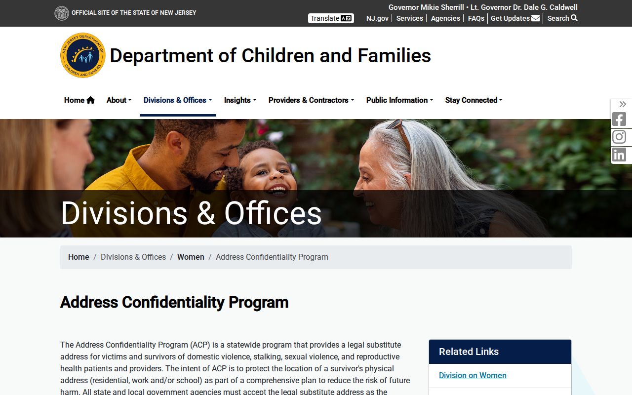
The New Jersey Address Confidentiality Program uses a substitute address and mail-forwarding service for eligible participants. Daniel’s Law separately protects covered people and immediate-family home addresses and unpublished phone information. An older record can be incomplete or no longer safe to repeat.
The Address Confidentiality Program page explains the official protection route.
Ask the custodian about correction or suppression rather than collecting extra data to fill a gap.
Lawful use. Use Neptune Township neighbors research for personal, civic, safety, or local-history purposes. Never use a parcel, voter, or association record to stalk, harass, intimidate, or harm anyone.